Dave Hurd's ArcGIS 9.2 Techniques
Hillshading Gap Removal
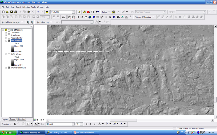
The Bad result:
This is the result of applying Hillshading to DEMs with gaps (nodata).
Previous Page
- Page 2 -
Next Page
When not working as Sr CADD Technician / GIS Specialist, Dave can be found, gathering mapping data of any sort with his Trimble Recon and Trimble ProXT GPS Receiver, in order to have something new to work with in ESRI ArcGIS 9.2 and Trimble GPS Analyst. He is a big fan of ESRI and Trimble Navigation products.