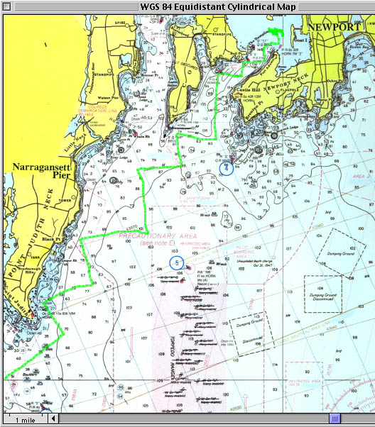
10 October 1999 - Upper Portion of Our Track
I have projected our track onto a calibrated scan of a chart of Narragansett Bay and Block Island Sound, using Mac GPS Pro, version 2.6.1, on an Apple Macintosh PowerPC 8100/110.
Click here to view the Lower Portion of Our Track
Close this window to return to the previous webpage.
This webpage last revised 10 February 2000.